
Location: Bluff Point State Park
Nearby Town: Groton, CT
Elevation (Max): 110'
Elevation Gained: 250'
Mileage: 5.35
Difficulty: Easy
Trailhead: From I-95, take Exit 88 and head south on Rte 117. Turn right at the T onto Rte 1 S. Turn left onto Depot Rd at the intersection with the Dairy Queen. Follow Depot Rd under a railroad bridge and into the park. Park anywhere in the large gravel lot. The trailhead is the main trail into the park with the large signboard with facts about the Coastal Reserve.
Web Site: http://www.ct.gov/dep/cwp/view.asp?A=2716&Q=325178
Bluff Point is probably the most popular park in southeastern Connecticut. It is a favorite of joggers, mountain bikers, hikers, picnickers, beach-goers, bird-watchers, and basically whatever else one does outdoors. Over July 4th weekend, I headed out there to map a hike for the blog and the Backpacker giveaway contest. There is a main double-track gravel trail that does a loop around most of the park, which is a popular hike or jog. I began on this track, breaking off to the left at the first Y to do the eastern portion of the loop first to get the hills out of the way in the first half and save the constant water views for the second half.
 The east side of the main trail
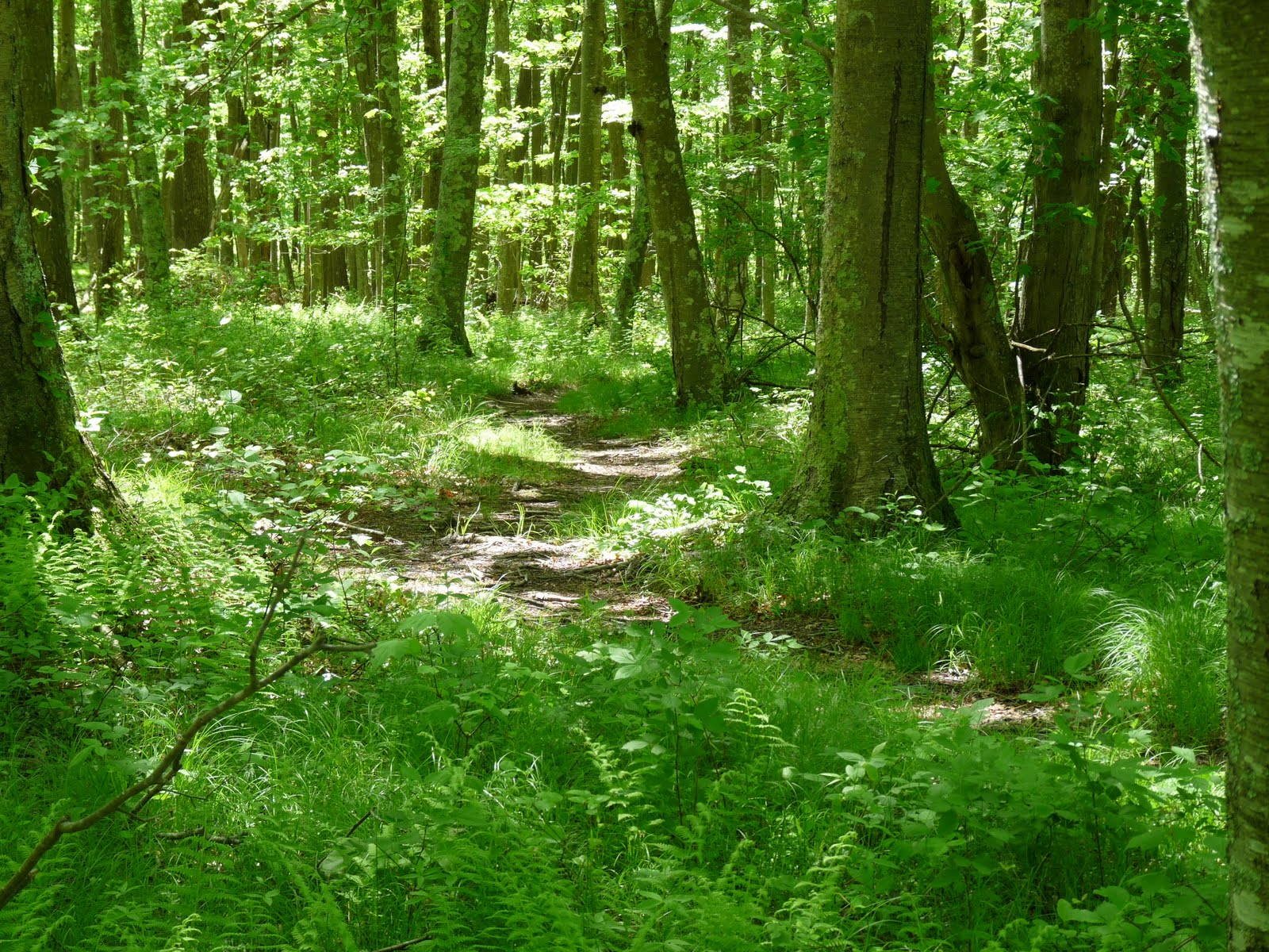 One of many small side trails throughout the park
Follow signs to the Winthrop Homestead where you can see the foundation of what was John Winthrop's home (a Connecticut governor from the 1600s). Something that is often in the back of my mind when I'm hiking is an idea from the book "The World Without Us." The book is basically a thought experiment on what would happen if humans instantaneously disappeared from earth, and one thing the author suggests is that if this were to happen, the longest lasting remnants of our existence would be some of the oldest artifacts of our civilization--cave dwellings. This thought came to mind when I was observing the rock foundation of this home. I can't imagine it eroding away anytime soon--certainly no sooner than so many of our subdivisions built 350 years later. Another neat thing about this foundation is that when Winthrop built it, he could see the sea from his home. The sea is nowhere to be seen today due to the forest that has grown on Bluff Point.
 The Winthrop foundation
But back to the hike. At the Winthrop Home, take a left to Mumford Cove. This trail is narrower and much less used. Follow to a Y where you should go left (you will take the right trail in a little bit) over some large, flat rocks. Then follow a small stream to the right down to Mumford Cove. After enjoying the sights of the cove from the rocks on the shore, return the way you came to the Y and go the only direction you have yet to explore. This part of the trail winds through forest with occasional views of Mumford Cove to the left. At some parts, the forest floor is completely covered with ferns. You will eventually come to a junction of small trails. Go right (the GPS track below shows me going left, but this was a mistake and I ended up backtracking to go right), and you will soon return to the main double-track trail. Go left on the trail. You will soon arrive at something called Sunset Rock, which is a decent sized boulder hidden amongst the trees. Believe it or not, this rock is so named because it was once a nice place from which to watch the sun set. With this new forest, that is certainly not the case.
 Small stream down to Mumford Cove
 Mumford Cove
 Fern-covered forest floor
Continue along the main trail and you will eventually get beautiful, large ocean views. At this point you should start looking for a side trail off to the left that will take you to the top of Bluff Point's namesake bluff. There is a bench up here to rest and watch the boats come and go. I remember having a number of family picnics here when I was younger, and it is still a nice spot to come and sit. After getting your fill of the view, head north and you will find a trail that leads back to the main trail where you should turn left. If you want, you can go left to the beach. I also have many memories of this beach--my sisters and I liked to go to the bay side of the beach and catch hermit crabs. This hike skips the beach, though, and continues along the main trail back to the car. Below is a GPS-generated map of the hike.
 Long Island Sound views
 The bluff
 Adventurous fishermen
<


