Thursday, January 17, 2013

Vista Point

Hike: Jordan Lake-Vista Point
Nearby Town: Apex/Pittsboro, NC
Elevation (Max): 247'
Elevation Gained: ~90'
Mileage: 3.01
Difficulty: Easy
Trailhead: Turn South onto North Pea Ridge Rd. from Route 64, a few miles west of Jordan Lake. Follow N. Pea Ridge Rd. to the parking lot at the boat launch at the end. Trailhead at near-left corner when entering the parking lot next to bathrooms.
Web Site: http://ncparks.gov/Visit/parks/jord/main.php

Jordan Lake
E and I enjoyed a relaxing loop hike in the Vista Point section of Jordan Lake in early summer.  The trailhead can be a bit difficult to find from the parking lot.  First find the bathrooms and follow the trail past it.  Then you will see a large picnic pavilion.  Walk through the pavilion to the trailhead on the other side.  This trail does not seem heavily used, and, at times, the trail is not obvious.  The beginning of the trail is one such area where there are a lot of small down trees and limbs.  The blazes are pretty well done, though, so despite this area, and a couple more areas where the trail is difficult to discern, you shouldn't get lost as long as you look for the blazes.  There are many short spur trails that go off the main trail to the lakeshore for nice views.


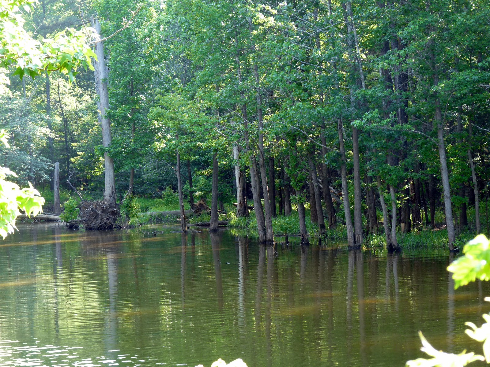
At the beginning of the hike, you will notice a campground on your left.  While the campground is still nearby, you will notice a spur off to the right that leads to a cove where we spotted a bald eagle perched in a tree across the water.  After enjoying the sight for a while, we returned to the trail and continued on the main trail which is relatively straight for a bit before taking a pretty sharp right hand turn.  Not long after the bend, there is a very short spur on the right that leads to a bench overlooking another little cove.  This spot is pretty secluded from the busier parts of the lake, and I would bet that if you just sat here for 15 minutes in the morning or evening, you would see some neat wildlife.
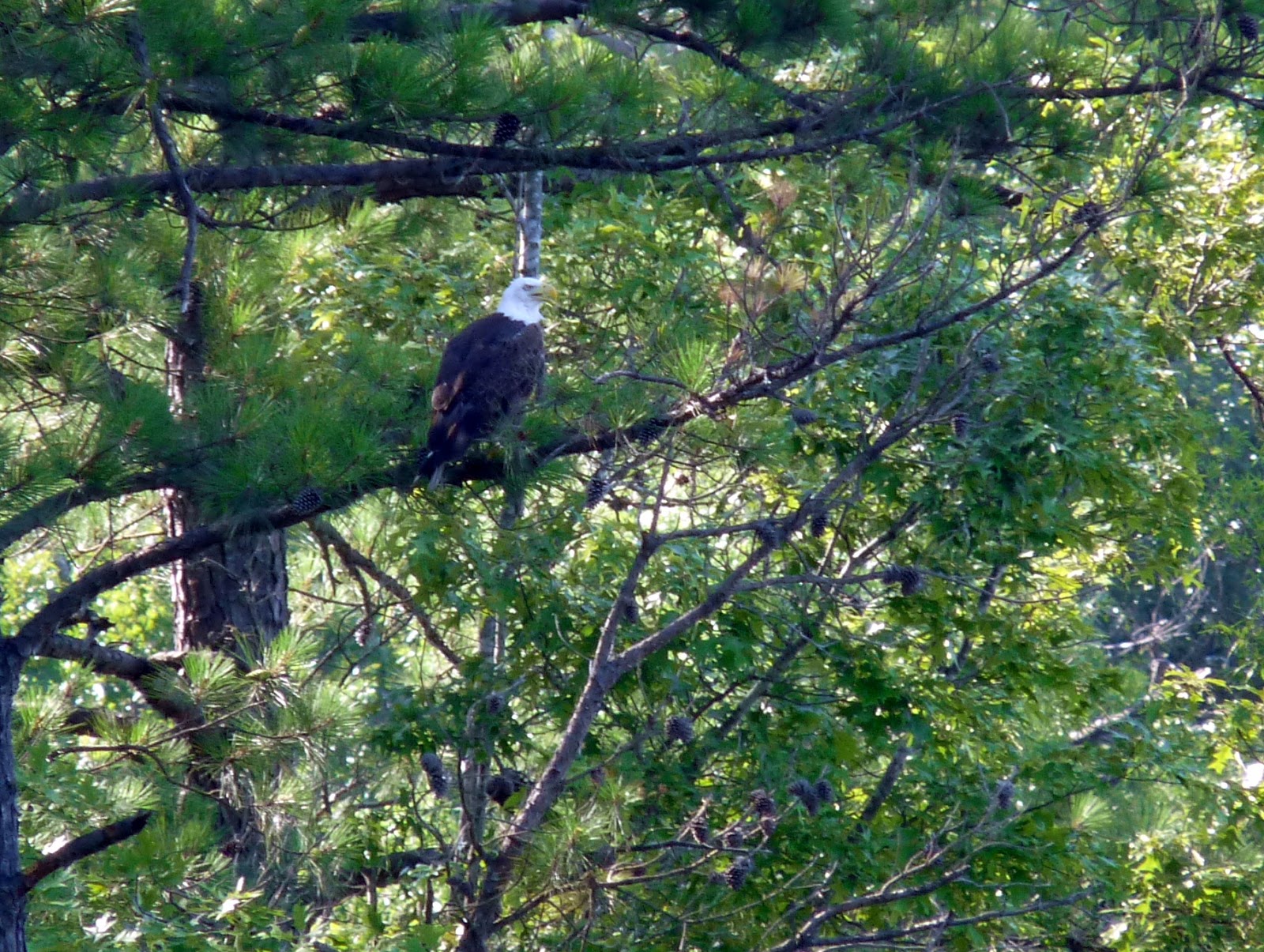
 
That would be a bald eagle


The trail then turns back into the woods for a while.  About halfway between the last lake lookout and the next one, the trail crosses a small wooden bridge over a gully.  Eventually you'll reach another spur trail on the right that leads to a much wider lake view.  The trail then parallels the shore of the peninsula fairly closely before arriving at the next lake view which includes a bench to relax at what is pretty close to the halfway point of the hike.


The trail then turns southwest to begin the back portion of the hike cutting through some woods.  There was a neat stand of some very tall but very skinny pines along this section of the hike.  A little later you'll arrive at another spur on the right that leads to a bench that appears to be used infrequently that overlooks one of the quietest coves on Jordan Lake.  I didn't see any wildlife when I visited, but I'm sure if you're patient you could see some neat stuff there.  This is the last water view of the hike.


Quiet cove

After returning to the main trail you begin to turn south before going southeast to close the loop.  There is a short, perhaps 20 yard section of trail as you approach the end that switches from the dirt/pine needle composition that you've been hiking on to knee high grass.  This sort of thing always makes me a bit nervous due to ticks, so we quickly high-stepped our way across.  Pretty soon after that, the trail meets the road on which you drove in, and you want to turn left and follow the road the rest of the way back to your car.  Check below for a GPS-generated map of the hike.


Monday, January 7, 2013

Jordan Lake--Seaforth

Hike: Seaforth
Nearby Town: Apex or Pittsboro, NC
Elevation (Max): 243'
Elevation Gained: ~50'
Mileage: 1.64
Difficulty: Easy
Trailhead: Turn south off US-64 into the Seaforth Recreation Area (there are roadside signs for it) in the Jordan Lake area.  There is a parking lot/boat launch pretty soon on the left, but continue on to the parking lot at the end of the road.  The trail leaves the parking lot on the west side (not the beach side).  I believe during the warm months, there is $6/car entrance fee.
Web Site: http://www.ncparks.gov/Visit/parks/jord/main.php

On a warm January day, E and I headed to Jordan Lake for a little hike.  Jordan Lake covers a pretty large area, and I've covered a different hike there before.  Any hike around Jordan Lake will be pretty flat and include some good open water views, and this one is no exception.  What this hike lacks a bit compared to other Jordan Lake hikes are secluded coves which herons and bald eagles tend to prefer, so the wildlife viewing on this hike wasn't as stellar as some others I've done before.

 Boardwalk near the beginning of the hike

The hike leaves the parking lot on the west side in the middle of the lot, and walks through some pine and deciduous forest.  In a short while, the views of the lake start to peek through the trees and the trail becomes a boardwalk to cope with the rising and lowering waters of the lake.  Just off the boardwalk, you can walk right to the lakeshore and take in the views.  Depending on the time of year, the lake could be extremely busy or very peaceful.  As one would assume, in January, when we went, it was the latter.

 Little cove

The hike then curves back into the forest, and skirts by a cove.  These little coves are one of the neatest parts of Jordan Lake.  If you are quiet, you can often spot some good wildlife in these areas, especially bald eagles, of which there is an abundance at Jordan Lake.  After the cove, the trail bends around the east side of a small pond, and cuts through more forest.  The trail then passes another pond on your right before coming out on the lake one last time on this side of the little peninsula that is Seaforth.

Typical Jordan Lake view

Easy path

Follow the trail east and then northeast, traversing a little meadow, and crossing the road you drove in on.  The trail then heads south for pretty much the rest of the way, eventually providing some lake views on the east side of the peninsula before ending at the beach/playground/beach volleyball/picnic area.  We were amazed how busy this place was in January, so I can only imagine how hopping it would be in the summer.  Overall, a really easy and relaxing hike with some good views to go with it.  Check out the GPS-generated map below!

Tuesday, November 20, 2012

Whiteside Mountain


Hike: Whiteside Mountain
Nearby Town: Highlands, NC
Elevation (Max): 4,930'
Elevation Gained: ~550'
Mileage: 2.03
Difficulty: Moderate
Trailhead: From Highlands, follow US-64 E/N out of town.  Continue to follow until turning right on Whiteside Mountain Rd after about 5 or 5.5 miles.  Turn left into the parking area.  The trail leaves near the middle of the parking lot.
Web Site: http://en.wikipedia.org/wiki/Whiteside_Mountain

While spending a fantastic weekend in Highlands at the incredible Old Edwards Inn and Spa, E and I knew we had to take advantage of being this far out in Western North Carolina by getting in a hike.  After doing a little research, we figured out Whiteside Mountain would meet our needs.  It is close to Highlands, about 15 minutes away, it is a relatively short hike and not very strenuous, and it is exceptionally scenic.  About one half of the loop trail takes hikers along the top of some of the tallest cliffs in the Eastern United States.

 
I enjoy when she does this

The hike is a pretty simple and obvious loop.  We began the loop by going left up the double track path that made the ascent quite gentle.  We did this hike in February, so it was pretty cold, but the winds were light and the sun was bright so it was still a very pleasant hike.  Along the way up the trail, there were many interesting ice formations including some growing on exposed rock on the side of the mountain and also large chunks of ice that had tumbled down the peak onto the trail.

 
The trail leaving the parking area

Ice coming out of the rocks

Balls of ice that tumbled down the mountain

When the trail begins to curve to form the loop, the view opens up dramatically to the north, east, and south.  We spent a little time here just enjoying the long views of the dramatic landscape.  Then we began the cliff-top portion of the hike.  There is a cable fence along much of this section of the trail, and it is definitely important to be cautious because it is a very long way down.  The views stretch into South Carolina and probably Georgia, too.  We also enjoyed watching several birds soaring on the updrafts created by the cliff.  After the cliff-top walk, the trail turns back towards the parking area and descends pretty quickly to complete the loop.

 
Looking north

Oh, hello, South Carolina

Walking along the cliff

A little bit of the cliff

Keeping it safe on the cables

E and I definitely plan to return to Highlands some day--ideally for a longer stay during the summer so we can explore more of the numerous outdoor activities around the Highlands area.  Check out the GPS-generated map below.