Friday, October 1, 2010

Umstead--Sycamore and Company Mill

Hike: Sycamore and Company Mill Circuit
Location: Umstead State Park
Nearby Town: Raleigh
Elevation (Max): 461'
Elevation Gained: 520'
Mileage: 10.85
Difficulty: Moderate
Trailhead: Enter the park from Glenwood Avenue (US-70) between Ebenezer Church Rd and Lumley Rd. Follow park road to the end and park. Trailhead is in picnic shelter area. Glenwood Ave. is accessible from I-540 Exit 4.
Web Site: http://www.ncparks.gov/Visit/parks/wium/main.php
This lengthy circuit connects the two main trails of the north and south parts of the park. The trail is mostly flat with only a few steep, but short, hills. Most of the trail is dirt or pine needles, which makes for good trail running, but there are rocky sections, particularly on the hills. The Sycamore Trail and Company Mill Trail north of Reedy Creek Road are deep in the middle of the park so they are unlikely to be crowded. The Company Mill Trail along Crabtree Creek, however, is very popular, so you can expect to find some crowds there especially by the old dam. Some of the neat features of the hike are the towering loblolly pines, huge oaks, and fern-filled ravines. Wildlife, which is hard to come by in the Triangle, is easy to find on this hike. I saw 3 snakes (be careful of those on this hike--they like to hang out near the creeks), 2 deer, several fish (including one that ate a butterfly), a frog, and a great blue heron. Bring plenty of water if you are doing this hike in warmer months. Without long stops, the hike can be done in about 5 hours.

The beginning

Begin the hike at the back of the picnic area next to Shelter 1. You will quickly come to a trail junction with clear signage to help you remain on the Sycamore Trail. Soon after the junction you will cross a small stream with a wooden bridge, and then turn left after crossing. After a little bit, the trail will come out onto a gravel road. Go left along the road, and you will find the continuation of the Sycamore Trail to the right just before the road crosses a bridge. This next section of the hike is very pleasant with soft trails and a small valley below. After going through this area, the trail turns right and walks along the edge of an open field. Continue onward for a while and you will come to another gravel road--go straight across it. The ground becomes a bit rockier in this section and there are some very large trees to admire. Eventually you will arrive at the beginning of the Sycamore Trail loop, so you can either way. I went left.

Crossing a small creek


Some big trees on this hike

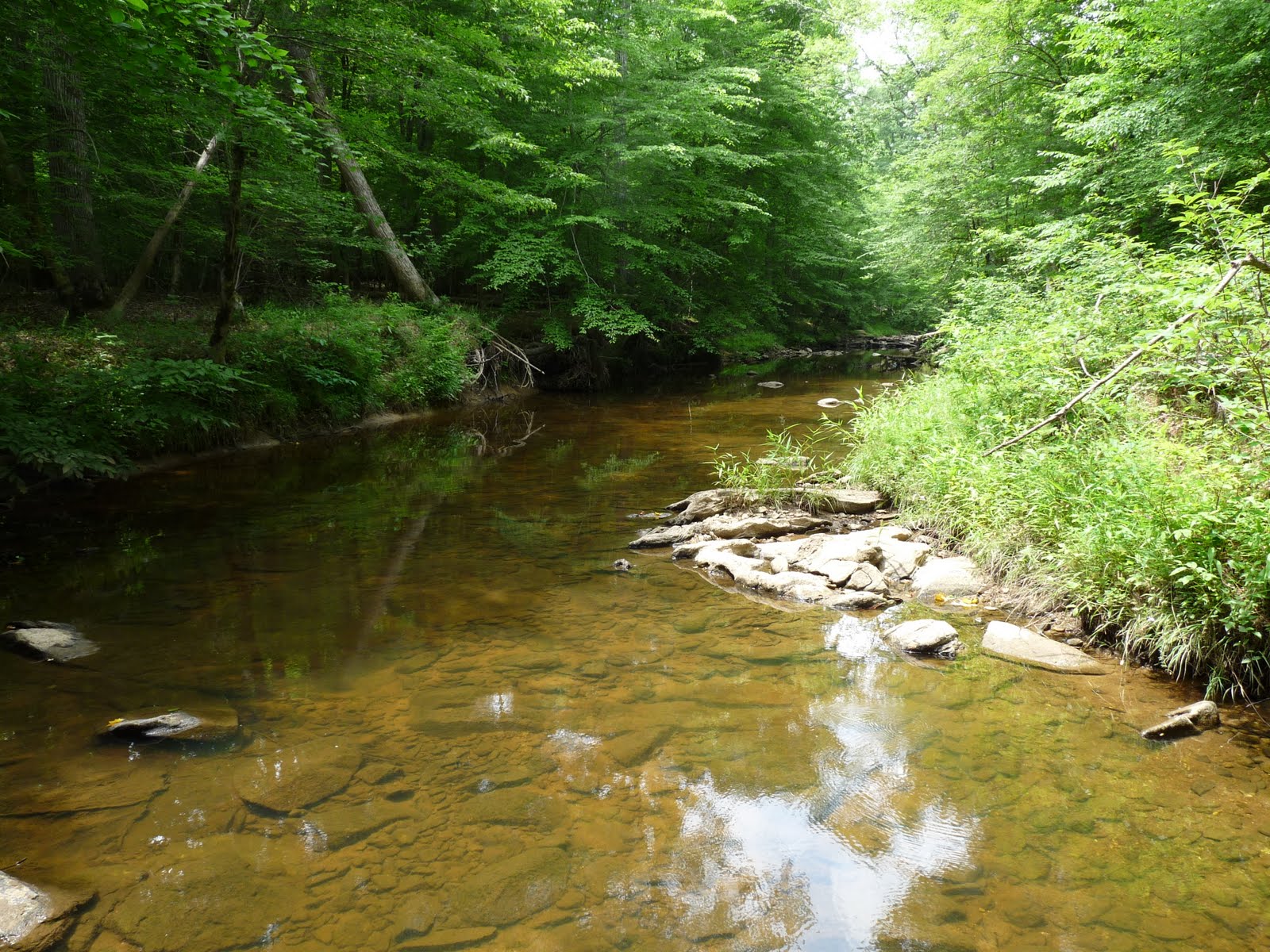
You will soon cross yet another gravel road, and then continue on for a while until you reach a bridge crossing a stream. Turn right immediately after crossing to continue the loop and enter one of the coolest areas of the Sycamore Trail. The stream that you just crossed continues alongside the trail and makes a hard right hand turn in a deep ravine with a steep gully feeding into it at the stream's bend. In a little while the trail will meet up with Sycamore Creek (of which that stream in the ravine is a tributary) and parallel it for a while. There is a point where the creek takes a hard right turn and you can venture out onto large boulders in the creek to get uninterrupted views up and down the creek and also watch the surprisingly numerous fish swim around. I actually saw a fish eat a butterfly that was flying just above the surface--quite a big meal and something I've never seen before. As you continue on, if you are doing this hike in mid June, you might notice remarkable flowers scattered on the ground that have fallen from a tree above. These flowers, pictured below, were like nothing I had seen anywhere else (I would subsequently see them again while hiking at Eno, but there as well there was only one tree). The flowers are wispy and feathery; almost like hair with white bases and pink tips. They really reminded me of the Avatar.

The trail turning in a deep ravine


This steep ridge looks pretty impressive on such a flat hike
Sycamore Creek


Avatar flowers

Continue on, and the trail will cross under some power lines, take a right, and then meet a gravel road. At this point you have a couple options. First, you can continue to follow this circuit and cross the bridge to join up with the Company Mill Spur on the right. Second, if you aren't looking for an 11 mile hike, just cross the road (not the bridge) to continue the Sycamore Trail loop bringing you back to your car. The circuit will eventually return to this point and do exactly that, but only after adding on another 3.5 miles or so.

The Company Mill Spur is only .2 miles long so you will arrive at the Company Mill loop fairly quickly. Again, since this is a loop, you can go either way, but I chose to go right because I know from hiking the Company Mill Trail before that the trail on the left is a bit more interesting than the trail on the right and I like to save the interesting stuff for later to keep me motivated. Also, I wanted to make a big figure-8 pattern out of this hike. After a not all that remarkable hike through the northwest portion of the Company Mill Trail (one exception: there is an enormous tree that is probably the biggest living tree I've seen outside Yosemite), the trail meets up with Reedy Creek Road which is a multi-purpose road popular with bikers, equestrians, and runners and links the Black Creek Greenway in Cary to the Reedy Creek Greenway in Raleigh. Cross the road to tackle the southwest portion of the Company Mill loop. This is probably the most boring part of the hike with little variation in topography, geology, or vegetation. However, it leads to a reward: the most interesting part of the hike where the trail parallels Crabtree Creek.

Crabtree Creek

The trail takes a big left turn and meets up with Crabtree Creek along which the trail will run for a good while. The creek is pretty cool with very steep banks. I spotted a great blue heron down in the creek and tried to get some photos of it eventually scaring it away. Watching it fly down the creek between the steep banks felt like something out of Jurassic Park. The trail continues along the creek with steep, rocky hills and cliffs rising on your left when you come to the bridge that crosses the creek. Most visitors to the park, so far as I can tell, come down the trail that crosses the bridge to see the old Company Mill site on Crabtree Creek, so this area tends to be a little crowded. Some remnants of the Company Mill that you can see are the dam and a millstone. The creek flowing through the dam is one of the only places on Crabtree Creek where you can see some rapids, and there is a little beach and large, flat rocks from which to look at them.

Great blue heron going fishing

Breach in the old dam

Continue along the creek around a bend, and then the trail splits from the creek and heads north where the creek heads east. There are some more enormous trees to check out on the next part of the trail including one very wide loblolly. The trail then begins the most strenuous climb of the entire hike as it ascends a quartz-covered hill. The hill can be surprisingly exhausting given how short it is but after all the hiking done to this point on relatively flat ground, it doesn't take much steepness to be draining. Shortly after the hill, you will return to Reedy Creek Road which you should cross to complete the Company Mill loop. When you reach the Company Mill spur, take it to return to the gravel road from earlier, recross the bridge, and go left along the unexplored portion of the Sycamore trail.

Back on Sycamore Creek

This part of the Sycamore Trail follows the Sycamore Creek closely for a while before crossing under some power lines and gradually climbing up a large hill perched high above the creek. Near the top of the hill, you will have closed the Sycamore Loop returning to the point at which you turned left before. Stay straight, following the signs to return to the parking lot. Follow the trail retracing your steps to take you back to your car. Below is a GPS map of the hike.


Thursday, September 30, 2010

Jordan Lake--New Hope Overlook

Hike: New Hope Overlook
Location: Jordan Lake State Recreation Area
Nearby Town: Apex, NC
Elevation (Max): 400'
Elevation Gained: 575'
Mileage: 3
Difficulty: Easy
Trailhead: From Rte 64, go south on Beaver Creek Rd. Turn R onto Pea Ridge Road. Turn R on W H Jones Rd. Go past gatehouse, and immediately turn right to go to the parking lot.
Web Site: http://www.ncparks.gov/Visit/parks/jord/main.php

Jordan Lake is a great place to hike, boat, swim, fish, and camp during the warm months. There is a $6/car entrance fee from Memorial Day-Labor Day. Luckily, I got this hike in just before Memorial Day so I got in for free. Park in the lot immediately after the gatehouse on the right. The trailhead is at the near left corner when entering the parking lot. This hike is of the Blue Trail (3.03 mi), but could be extended to include the Red Trail (total 5.4 mi), which is just an extension of the Blue Trail Loop. The trail is obvious and clearly blazed. The ground is mostly dirt, some beds of pine needles, and occasionally could be wet if going after heavy rains or when the lake is high (it was completely dry for me, but I saw some coves where the trail looked like it gets submerged during periods of high water. The trail weaves into the forest and out to the coves, which provides a nice varied experience. Another attribute; unlike Umstead or even Eno, which draw the crowds, I encountered only one other person on this hike and that was at the trailhead; as I was returning a woman was heading onto the trail.


The first cove


Another view of the cove
Soon after beginning the hike, you will come to Y, which begins the loop. You can go either way, but I went right. The trail then winds through forest for a while going over small ups and downs before eventually coming to the first cove, which provides nice views and birdwatching opportunities. Continue onward around the cove until you come to a T. The loop continues to the left, but you should go right down the short Overlook Spur that leads to a very nice wide view of Jordan Lake (with a bench to rest!). After you've soaked in the view, return to the trail to continue the loop. The trail will cross a gravel road with the New Hope Overlook campsite to the right down the road--the site looks nice with pit toilets and private sites each with tent pads and accesses to the lake.

Big Jordan Lake view

Red Piedmont clay

Cross the road to continue the loop. The coves on this side of the peninsula are more secluded and quiet so the odds of seeing some wildlife here, especially bald eagles, are pretty good. Walk quietly and keep your eye on the lookout. The bald eagles seem especially fond of the loblolly pines (the tall pines with large segmented shaggy bark). At one of the coves the trail passes, I went off trail a bit to try to get a nice picture of the cove, and in so doing scared a bald eagle out of the trees. Sadly, I couldn't snap a picture of it before it was gone, but I waited for about 15 minutes in case it decided to return. It never did, but a great blue heron flew into the cove while I waited, but I ended up scaring that bird off as well when I tried to photograph it.

The cove where I saw the bald eagle and heron

Continue around the cove. When I went there was a pile of debris on the edge of the cove so it looks like this is an area that floods at high water. Continue onwards staying left at each of the two trail junctions ahead if you only want to do the Blue Trail. If you want to add in the Red Trail to put an extra 2.5 miles on the hike then go right on the Red Trail. The trail will then cross the same gravel road as before, and soon thereafter you will complete the loop finishing the hike. Below is a GPS map of the hike.

Wednesday, September 29, 2010

Rocky Neck

Hike: Rocky Neck Loop
Location: Rocky Neck State Park
Nearby Town: East Lyme, CT
Elevation (Max): 125'
Elevation Gained: 247'
Mileage: 2.9
Difficulty: Easy
Trailhead: Take Exit 72 off I-95 and head south on the Rocky Neck Connector. Turn L on Rte 156, then take the first right into the park. Stay on the park road to parking at the end. Walk to the pavilion overlooking the beach and walk over the train tracks on the bridge next to the pavilion.
Web Site: http://www.ct.gov/dep/cwp/view.asp?a=2716&q=325256

This is a fairly easy loop around the edges of Rocky Neck, which I did with my parents in early summer after enjoying a picnic at the large, stone, Depression-era pavilion. There is a fee to enter the park of between $6-$22 depending on weekday/weekend, resident/non-resident, after/before 4pm. Obviously, resident/weekday/after 4pm would be cheapest and non-resident/weekend/before 4pm would be most expensive. Rocky Neck has a color-coded trail system, and I would recommend printing out a map from the web site before going to the park.

Long Island Sound from the pavilion


The pavilion--a Depression project


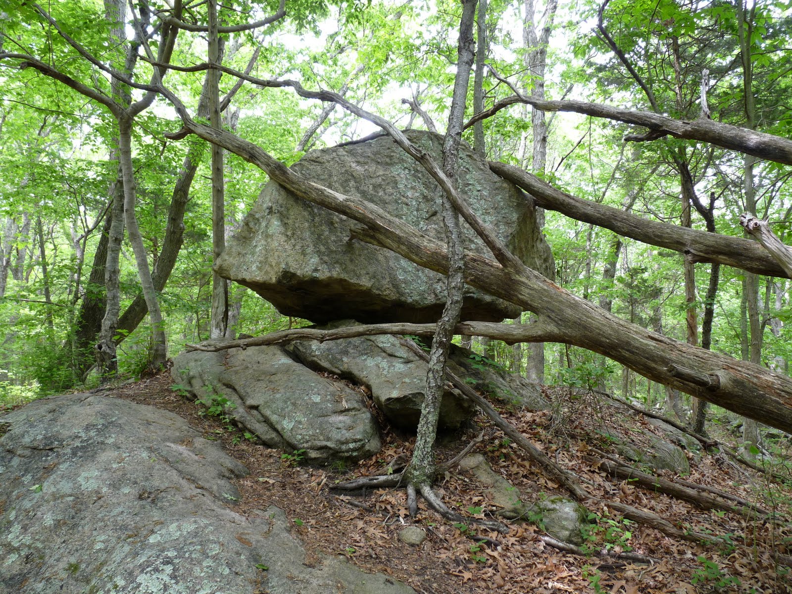
This hike is the longest loop you can make in the park. You can either begin at the large stone pavilion or end there. We started there, crossed the train tracks, walked through an unused parking lot, along a paved road for a little while, then veered left into the woods on the Blue trail. Shortly thereafter, the Blue-Yellow trail breaks off the right to go to Backer's Cave surrounded by glacial erratics. The cave is a legitimate one tucked underneath a shelf formed by the rocks. I couldn't tell how deep it was, but it could make for interesting exploring. After checking this neat area out, we returned to the Blue-Yellow trail and continued onward to quickly rejoin the Blue Trail.

Small cliffs


Bakers Cave


The Trail has occasional views of Four Mile River below. The trail will join with the Red Trail briefly and split--at the split, go left on the Blue Trail. This will take you through Shipyard Field--an open grassy field. Be careful, though, there is a lot of poison ivy around. The Blue Trail then takes a sharp right as it approaches Rte 156, travels through a field, intersects with the Green Trail and Orange Trail, and then connects with the Red Trail. At this point switch onto the Red Trail, but the Red Trail also splits, so stay on the left branch to head toward Bride Brook.

Shipyard Field


Take the Red Trail to the Purple Trail, then the Purple Trail to the White Trail. Go right on the White Trail walking along the marsh of Bridge Brook. Remain on the White Trail until it intersects with the Red Trail where you should go left on the Red Trail to get back to the parking lot. Along the way, enjoy views of the marsh and ospreys, egrets, and herons. The trail crosses through open marsh at one point which provides nice views, and also the chance to watch fish and crabs in the water. Below is a GPS map of the hike.

Balancing rock